Oatman Road - Page 4
Headed west on Historic Route 66 - 2012
Sitgreaves Pass can be seen in distance in the middle of the picture.
Shaffer's Fish Bowl Springs. This is an easy place to miss. The spring is not marked. Look for stone steps seemingly cut into the cliff on the left as you head towards the summit of Sitgreaves Pass - those steps lead to the "fish bowl".
Looking east from Sitgreaves Pass - 2012
Boundry Cone just east of Sitgreaves Pass - Looking East
Sitgreaves Pass - 2012 - Looking toward the west.
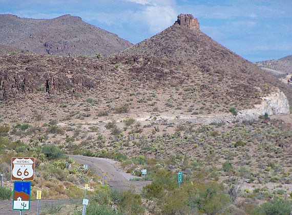
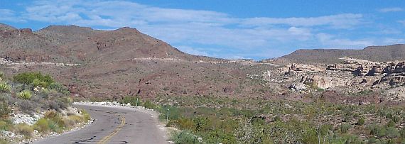
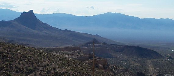
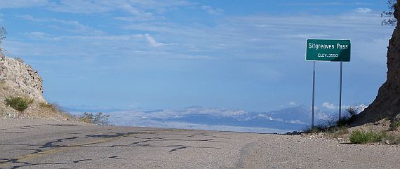
Sitgreaves Pass - The summit of Sitgreaves Pass, at an elevation of 3556 ft, affords quite a view of the surrounding country. Right at the top of the pass there is a pull off that you can stop at to really enjoy the view.

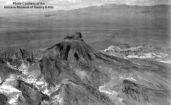
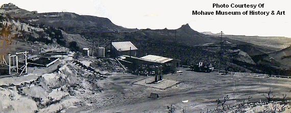
The photo above shows a historic view of the Osman Snell Summit Station which had a panoramic view of the valley. A tow truck and a sign "Last Chance Gas, 50 mi" are in the foreground. A water tank and outhouse are visible as well as 2 gas pumps.

Bullhead City Chloride Dolan Springs Golden Valley Kingman Lake Havasu City Meadview White Hills
Mohave County Recreation Mohave County Living Mohave Valley Living Northwest Arizona
Highways Boating Hunting Fishing Golf
2012 Copyright NoticeHualapai West, Inc. All rights reserved. Advertising Home