Note the eagle in the upper left hand corner of this photo.
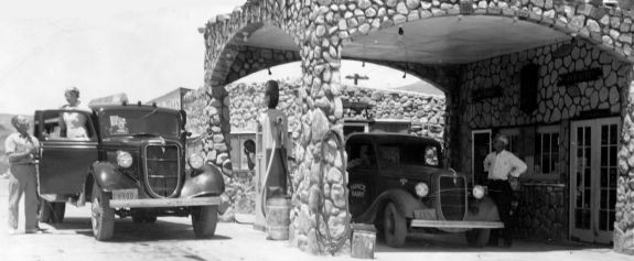
Floyd Spidell delivering to Cool Springs, Mary Walker (James wife) standing in truck at Cool Springs service station. Photo courtesy of Mohave Museum of History and Art.
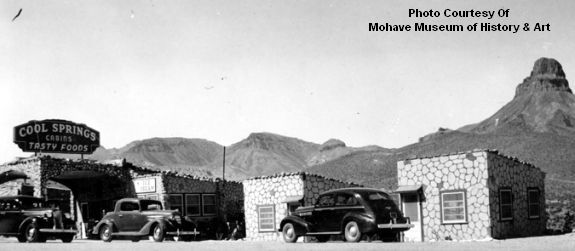
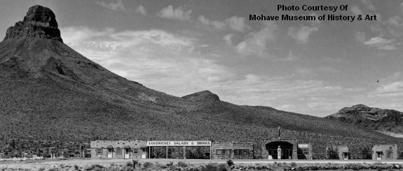
Mountain in background has had the following names. 1) Frank Murray Peak, named by Beale in 1857; 2) Ives named it Irataba Peak in 1858 after his guide; 3) the Atlantic and Pacific survey team in the 1860s named in Mt. Nutt; 4) the miners named it Squaw Tit; and the USGS gave it its current name which is Thimble Mountain
1940 Auto Court, service station and restaurant. Three cars are parked in front of the cabins. Located 20 miles west of Kingman on Highway 66, Cool Springs was operated by Floyd and Mary (Walker) Spidell during the 1940's and became a popular rest stop on the trip from Kingman to Goldroad and Oatman and points beyond.
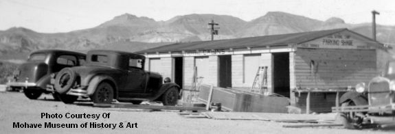
1938 New cabins being built on the west end of Cool Springs